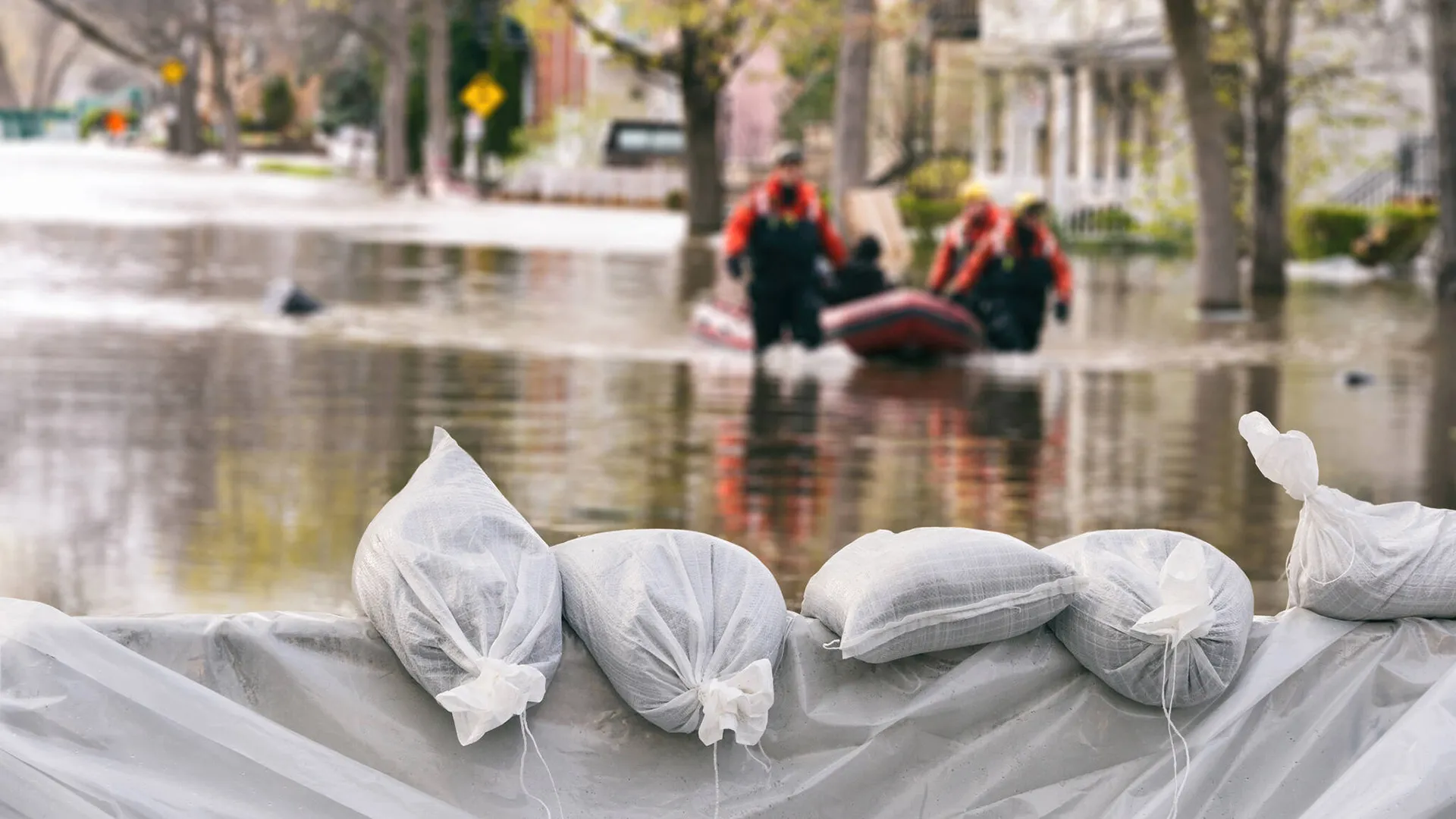
Floods, which are mostly caused by heavy and persistent rain, melting snow, or an abundance of rainfall, pose a serious threat to both people and property. Wildfires can also cause flash flooding - in the absence of vegetation, the soil can become hydrophobic, increasing water runoff, resulting in the risk of hazardous flooding, debris flows and landslides.
A flood warning system can provide critical information about risk levels, heavy rain warnings, flood timing and intensity, ensuring that municipalities and cities are warned at an early stage for critical decision-making and in turn, implement an effective response strategy.
External sensors such as precipitation sensors, level measurements, flow measurements, and radar, are combined with available data from hydrological forecasting which includes flood inundation mapping, DWD radar data and flood level data. This integration enables the calculation of critical water levels in advance. With the help of artificial intelligence, forecasts can be made far more precise, providing valuable insights for better preparedness and decision-making.
Area and location-based high alerts to previously defined levels or conditions are sent to communities via cell-broadcast, e-mail, SMS, phone calls or app push messages. In this way, message communications can be mapped, raising the alarm ahead of major floods and disasters.
The system has interfaces that can be extended as required, e.g. to integrate an existing control center. The interface to the MoWaS is already integrated.
Early warning systems can substantially reduce deaths and injuries from severe weather events by engaging those that live in high risk areas of impending risk from flooding.